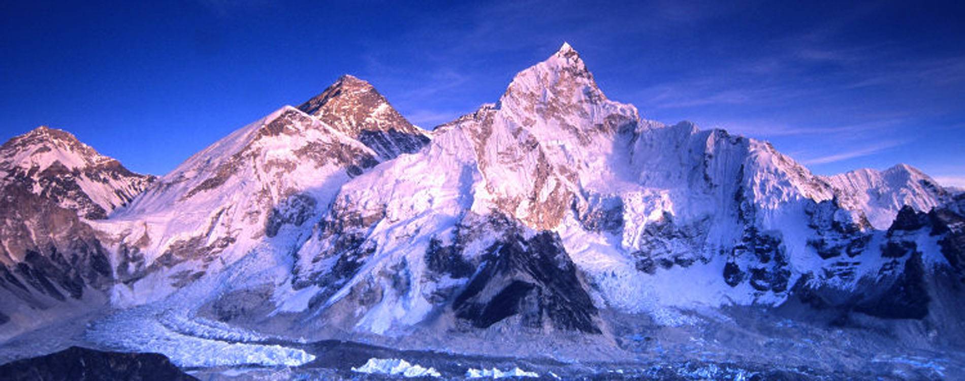
Reading an Everest Base Camp trek map is essential for navigation, planning, and safety in the high Himalayas. Understanding topography, trail routes, altitude, and landmarks allows trekkers to make informed decisions and avoid unnecessary risks.
Most Everest Base Camp maps include key points like Lukla, Phakding, Namche Bazaar, Tengboche, Dingboche, Gorak Shep, and Everest Base Camp itself. Familiarity with these locations helps plan daily distances and rest days.
Contour lines indicate elevation. Close lines show steep ascents or descents, while spaced lines represent gradual terrain. Understanding elevation changes is vital for pacing and preventing altitude sickness.
Rivers, glaciers, and valleys are marked on maps. These natural features serve as navigational aids and highlight potential hazards like river crossings, crevasses, or flood-prone areas.
Trail markers and routes are indicated using dotted or colored lines. Different maps may show alternative routes, side trips, or shortcuts. Trekkers must cross-reference with guides for accuracy and safety.
Distance scales help estimate daily trekking distances. Maps provide kilometer markers, which, combined with elevation gain, allow realistic planning for each trekking day. Overestimating daily distances can cause fatigue or health risks.
Landmarks like monasteries, teahouses, and viewpoints are noted. These markers guide trekkers and provide reference points for rest, accommodation, and cultural exploration.
Altitude labels on maps indicate elevation at key locations. Monitoring altitude gain with maps helps plan acclimatization and manage potential altitude sickness during the trek.
GPS coordinates on modern maps allow integration with mobile devices or handheld GPS. Digital mapping improves navigation and provides real-time location updates in case of low visibility.
Topographic maps also indicate forests, rocky terrain, and moraine areas. Understanding terrain types helps in choosing proper gear, footwear, and trekking poles for safety and comfort.
Weather considerations are enhanced with maps. Recognizing exposed ridges, valleys prone to snow accumulation, or wind corridors allows trekkers to plan safer routes in adverse conditions.
Map reading skills complement guide knowledge. Even with experienced guides, understanding maps increases confidence, aids in decision-making, and enhances trekking experience in the remote Himalayas.
In conclusion, reading a trek to Everest Base Camp map involves understanding elevation, distance, landmarks, trail markers, terrain, and GPS integration. Mastery of map reading ensures safer, informed, and more enjoyable Himalayan trekking adventures.